
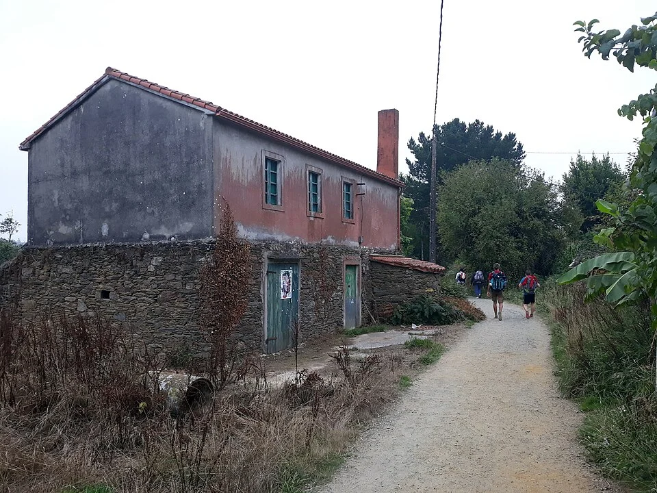
Stage between eucalyptus trees and meadows near the airport.
Stage map
Stage profile
Time on the road
Steep descent along Rúa do Carmen. Crossing the Vello River between oaks and meadows. Constant up and down profile.
Underpass under the national road. Forest next to the Ladrón River. Villages of A Peroxa and Tabernavella.
Forest tracks between eucalyptus trees. Gentle ascent towards Ferreiros.
Lengüello River recreational area. Sections next to the national highway through Boavista and Salceda.
Crossings of the national highway at various points. I pass through O Xen and A Ras. Some underground passage.
Walkway parallel to the asphalt to Alto de Santa Irene. Chapel and holy fountain. Dense eucalyptus.
Short forest path. Access to the urban center of O Pedrouzo.
Last crossing of the national highway. Entrance to the center of O Pedrouzo with all services.
Canal · Arzúa - O Pedrouzo
Chat en tiempo real
Inicia sesión para participar en el canal