
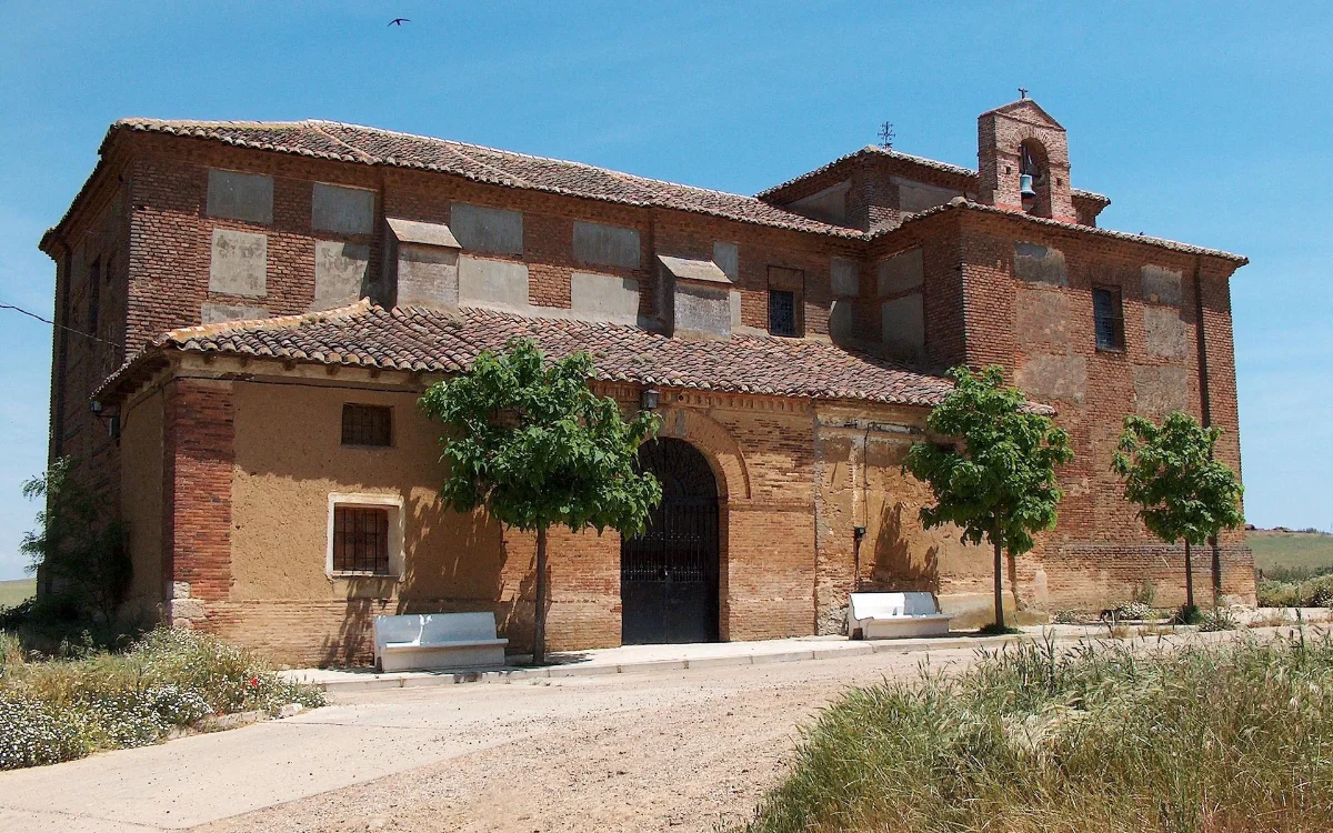
Long straight along the old Roman road Via Aquitania.
Stage map
Stage profile
▲878mMax.
▼826mMin.
↑+52mElevation +
↓−45mUnevenness −
Time on the road
Cargando previsión…
Carrión de los Condeskm 0871m↓ -45m
Crossing of the Carrión River. Monastery of San Zoilo. Roman road Vía Aquitania: 17km without urban centers. Loneliest section of the French Way.
Calzadilla de la Cuezakm 17.2826m↑ +48m
Village in a hollow after the long road. Crossing of the Cueza River. Path parallel to the national road between cereal fields.
Ledigoskm 23.4874m
Road crossing. Pedestrian track. Flat plateau exposed to the wind. Access to the Templar settlement of Terradillos.
Terradillos de los Templarioskm 26.3878m
Dirt roads without traffic.\r\nSilent wasteland. Extensive crops.
Sé el primero en valorar esta etapa
Canal · Carrión de los Condes - Terradillos de los Templarios
Chat en tiempo real
Cargando mensajes...
Inicia sesión para participar en el canal