
Passage through Cruz de Ferro and technical descent towards El Bierzo.
Stage map
Stage profile
Time on the road
Ascent to the symbolic milestone of the Camino. Cruz de Ferro: tradition of depositing stone. Mountain ridge with views. Descent to Manjarín.
High elevation along exposed trails. Provincial highway border. Communications tower in Manjarín.
Highest point of the French Way: 1505m. Dizzying and rocky descent. Caution. Steep slopes up to El Acebo.
Picturesque main street. Path between boulders. Shady forest. Descent to Riego de Ambrós.
Technical dirt and stone trails. Sanctuary of Angustias at the end of the descent. Crossing of the medieval Molinaseca bridge.
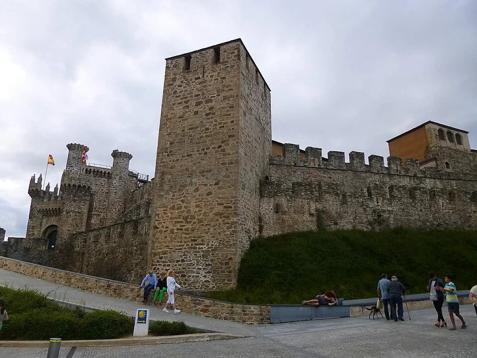
Walkway parallel to road. Bierzo Valley. Soft terrain. Passage through Campo. Templar Castle of Ponferrada.
Last urban kilometers. Crossing of the Boeza River. Old town bordering the fortress to Plaza Mayor.
Canal · Foncebadón - Ponferrada
Chat en tiempo real
Inicia sesión para participar en el canal