
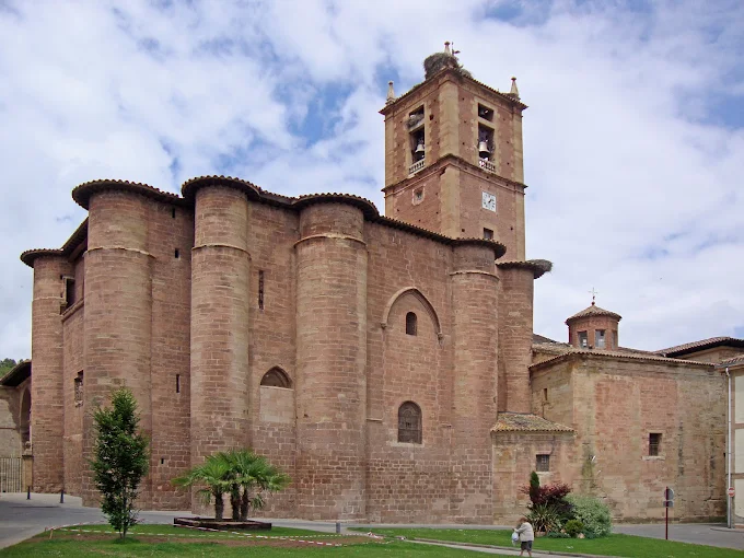
Soft terrain on the plain of the Rioja Alta.
Stage map
Stage profile
▲739mMax.
▼487mMin.
↑+252mElevation +
↓−101mUnevenness −
Time on the road
Cargando previsión…
Nájerakm 0487m↑ +54m
Go up Costanilla street. Agricultural tracks between vineyards and cereal. Access to Azofra.
Azofrakm 5.7541m↑ +199m
Undulating and exposed terrain. Border of urbanization with golf course. Access to Cirueña.
Cirueñakm 14.9739m↓ -100m
Agricultural tracks with views of the cathedral. Descent between warehouses. Entrance to the historic center on Calle Mayor.
Santo Domingo de la Calzadakm 20.7639m
★★★★★5.0 · 1 valoración
Canal · Nájera - Santo Domingo de la Calzada
Chat en tiempo real
Cargando mensajes...
Inicia sesión para participar en el canal