
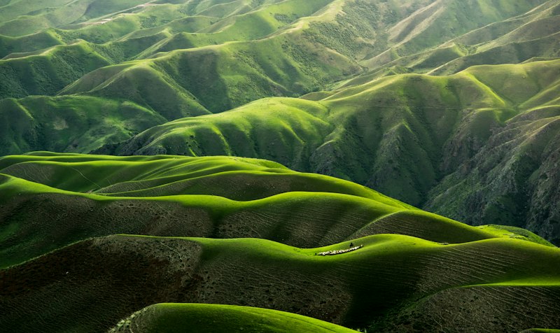
Long and demanding stage through the interior of Galicia. Landscape of scrubland and eucalyptus trees, with few services on the route.
Stage map
Stage profile
Time on the road
Home next to the Pazo de Cotón, with a gallery of stone arches. Crossing of the Barcala river. Section through forest and shoulder of the DP-5603 highway.
Small shop-tavern at the foot of the road. Beginning of trails and tracks along the old Camiño Real to Fisterra. Ascent through the Barcala river valley.
Section along the shoulder of the DP-5603. Fountain in O Rapote (500 m before). Alto da Pena cafeteria-hostel 50 meters from the path.
Crossing of the town. Municipal shelter in an old school building.
Dirt track at departure. Section along local road with shoulder towards As Maroñas.
Livestock nucleus. Continuation along paved track towards Santa Mariña.
Church of Santa Mariña. Casa Pepa bar with private hostel. Bars, hostel and bakery on the AC-400 highway.
Beginning of the ascent towards Mount Aro. Pay attention to signage in Vilar de Castro.
Descent from the viewpoint of Mount Aro. Views over the Fervenza reservoir. Two bars-restaurants and private hostel.
Bridge over the Xallas River. Cross with caution without a shoulder. Entrance to the town of Dumbría.
Small village with Xunta hostel. Bifurcation point towards Fisterra and towards Muxía.
Canal · Negreira - Olveiroa
Chat en tiempo real
Inicia sesión para participar en el canal