
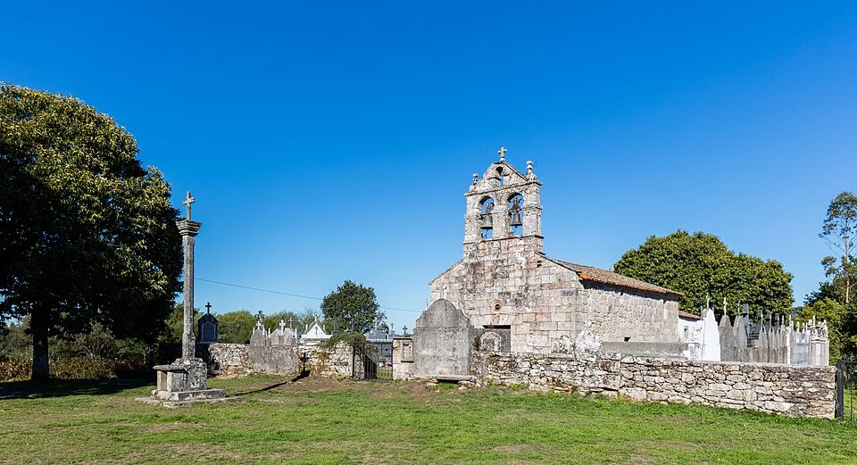
Ascent to the Sierra de Ligonde through rural villages.
Stage map
Stage profile
Time on the road
Descent through porticoed streets to the reservoir. Water crossing. Climb between oaks and pines.
Tracks next to the provincial road on the rise. Carballeira with rest area.
Dirt roads in constant climb. Open and livestock landscape. Castro de Castromaior nearby.
Strong slope next to remains from the Iron Age. Parallel to the road until Hospital da Cruz.
Overpass over road junction. Local track through Sierra de Ligonde. Highest point of the stage.
Gentle descent towards Ulloa. Lameiros Cruise. Entrance to Ligonde.
Small elevations due to rural surroundings. Meadows with cattle next to the trail.
Local road through Portos and Lestedo. Gentle descent towards the Palas basin.
Asphalt and dirt roads until O Rosario. First views of Palas de Rei.
Os Valos area. Entrance to Palas de Rei through the church of Santo Tirso.
Last kilometers next to the national highway. Entrance to Palas de Rei.
Canal · Portomarín - Palas de Rei
Chat en tiempo real
Inicia sesión para participar en el canal