
Overcoming the 100 kilometer milestone to the Miño River.
Stage map
Stage profile
Time on the road
Descent to Ponte Aspera. Crossing of the Pequeno River and train tracks. Climb between carballos and chestnut trees. I pass through Castro de Paredes.
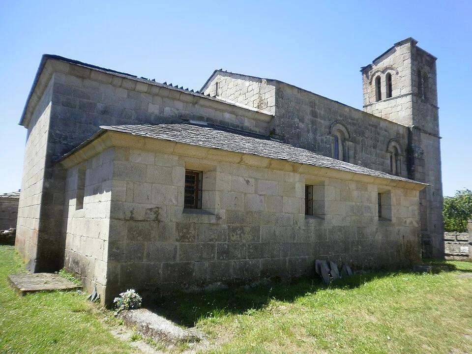
Smooth rise. Romanesque church of Santiago on one side. Access to the O Mosteiro public hostel.
Paved track through chestnut groves. Mercado da Serra: intersection with services.
Comfortable tracks towards the Marzán mill. Meadows and livestock farms.
Road crossing. Old mill. Pasal: traditional raised stones to avoid mud.
Dirt track through Peruscallo. Technical road surface with stone slabs in the center of the trail.
Cobbled rural roads. Shadow of carballs and chestnut trees.
Paths flanked by mourelas (dry stone walls). Essence of interior Galicia.
Crossing the Chelo stream through shady surroundings. Access to A Brea.
Short slope. Loio Valley with forests to the south. Arrival at Morgade.
Descent to Ferreiros and Mirallos. Romanesque church. Historical landmark of reference.
Casal de O Couto. Prairies and pine forests.
Descent towards Mercadoiro. Mediterranean vegetation. Nearby Miño River.
Descent towards A Parrocha and Vilachá. Area of the old monastery of Loio.
Final descent to the Belesar reservoir. Historic option: stone steps to the Portomarín bridge.
Crossing of the viaduct over the Belesar. Stairs of the reconstructed bridge. Entrance to the center of the town.
Winding local tracks. Definitive views of the Miño River.
Last steps through Paradela lands. Beginning of the descent to the river basin.
Technical and steep descent towards the river. Views of the transferred town of Portomarín.
Canal · Sarria - Portomarín
Chat en tiempo real
Inicia sesión para participar en el canal